
Lake Jackson Neighbors by Parcel
The useful public trail for a Lake Jackson block begins with geometry. A parcel boundary can show which lots adjoin a subject lot, then an appraisal or tax account can identify a recorded owner or mailing address. That is not the same as confirming an occupant. City maps add subdivision, city-limit, and flood context, while a civic group can explain an older tract name or community activity. No official, public street-by-street Lake Jackson resident roster was located, so each source below has a narrower purpose.
| Source | What it shows about a block | Access |
|---|---|---|
| BCAD Interactive Property Map | Parcel geometry and the spatial relationship of nearby lots | Public map; exact pop-up fields were not captured |
| BCAD Property Search | Appraisal-account fields, including owner and situs-address pattern | Public landing search; research use only |
| Brazoria County GIS | Address points, parcels, roads, political boundaries, and floodplain layers | Public services and a county data-request route |
| Lake Jackson Map Gallery | City limit, ETJ, zoning, subdivision, annexation, park, and flood maps | Public city maps with an accuracy caution |
| Citizens Association | Historic tract names and civic context | Association contact route; no public member roster |
The BCAD Interactive Property Map is the starting point for the parcel relationship. The county's official GIS services add Address_Points, Parcels, Roads, Political_Boundaries, and Floodplain layers. BCAD's mapping handbook describes downloadable data updated monthly and labels the material informational rather than survey or legal proof. For Lake Jackson block research, retain the parcel or geographic identifier and avoid treating map acreage, a tax value, or a label as a title opinion.
Note: A Lake Jackson parcel map can establish a spatial relationship, but it cannot by itself establish who currently lives at a neighboring address.
Lake Jackson Neighbor Map Layers
Map layers help separate a nearby parcel from the larger jurisdiction around it. The county service can place a Lake Jackson address among roads, legal-development layers, utilities, taxing entities, and floodplain data. The BCAD map and appraisal records serve different purposes: one gives a visual relationship; the other supplies appraisal-account research fields. The BCAD interface did not expose its complete map toolbar or pop-up schema during inspection, so a viewer should not claim that an unobserved button, buffer, owner field, or export exists.
The Lake Jackson Map Gallery provides city, subdivision, annexation, zoning, park, flood, and city-limit or ETJ maps. It also warns that maps can be inaccurate and directs readers to Engineering before decisions. That warning matters where a Lake Jackson block meets an ETJ line, a flood area, or an annexation boundary.
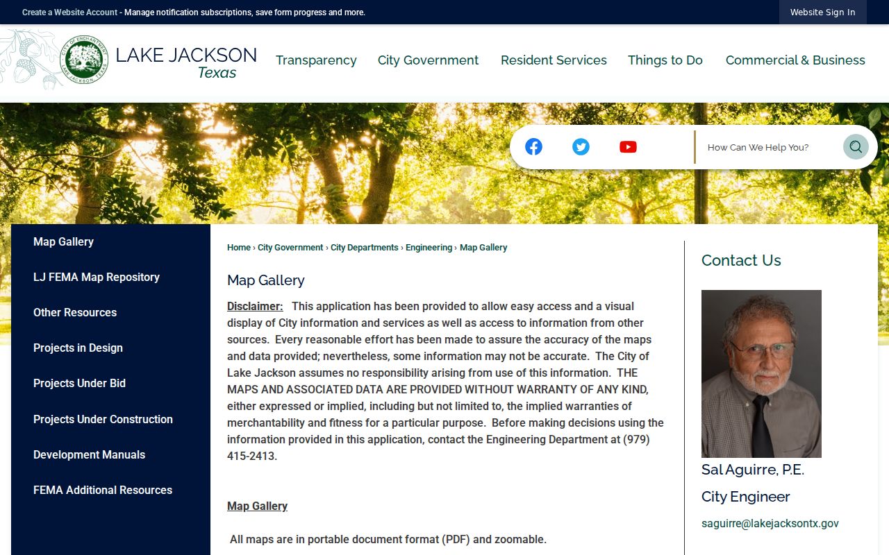
The city map gallery gives a practical check on the surrounding setting. It is not a survey and does not replace a recorded plat, current title work, or direct confirmation from the appropriate custodian.
Lake Jackson Neighbor Block Mapping
Use a parcel-to-surrounding process rather than a name guess. Normalize the Lake Jackson address first. BCAD's property search calls for the street name without a prefix, suffix, or unit number, and the county tax search distinguishes actual property location from owner mailing address. Lake Jackson's curving drives and unusual street names make exact entry especially important. Center Way, Circle Way, This Way, and That Way do not behave like a simple numbered grid.
- Enter the subject address in the parcel or GIS map, then save the parcel, geographic, or appraisal identifier that appears with the location.
- Read the bordering parcel shapes and make a short list of lots that touch the subject parcel. Keep corner, rear, and across-the-road relationships separate.
- Check each identified parcel in the appraisal or tax source. Record the owner or mailing information as a property lead, not as proof of current occupancy.
- Check city-limit, subdivision, road, and flood layers when the block may cross a boundary. Seek a dated record from the custodian if the question turns on jurisdiction.
- Use an address, parcel description, or dated instrument as a second check before connecting any Lake Jackson neighbor information to a named person.
That flow stays close to the immediate block. For a whole named road and its deeper address-record trail, use the Lake Jackson By Street directory rather than stretching a parcel map beyond what it shows.
Lake Jackson Neighbor Boundary Checks
A Lake Jackson neighbor question can change when a parcel sits near the city limit or an annexed area. The city annexation map identifies additions in 1981, 1990, 1993, 1994, 1996, and 2006, including references to Jackson Oaks and Timbercreek. Those year labels provide context for a historical search, but they do not prove a lot-by-lot municipal status on their own. Review the relevant map and ordinance when a date matters.
County Political_Boundaries and city limit or ETJ maps can also show why a nearby address may belong to a different jurisdiction. Floodplain is another contextual layer, not a reason to infer household information. A precise request through the Lake Jackson public-information process should identify the address, date range, map or record type, and the specific existing item wanted. Texas public-information procedures require custodians to provide existing records when available, not create an answer or legal conclusion.
Lake Jackson's original plan preserved trees through curving drives and brought many ways toward downtown. That local design is a search tip: try the exact street token and reasonable Drive, Street, or Way variations across public maps and historical OCR, then confirm the match with a parcel identifier or dated record.
Note: Annexation years explain map context, but only a reviewed boundary record can answer a date-specific jurisdiction question for one Lake Jackson parcel.
Lake Jackson Neighbor Civic Tracts
Community organizations can add history to a block without becoming a household directory. The Lake Jackson Citizens Association was formed in 1948. Its bylaws preserve nine historical tract names: Bell, Brown & Hooff, Cornwell, Johnson, Jones, Lion, McGrath, Payne, and Prout. Those names can be useful search terms in Lake Jackson local history, maps, and newspapers. They are not verified modern boundary labels, and the association does not offer a public member roster.
The Lake Jackson Citizens Association provides the association's history, bylaws, and contact path. Contacting a civic group may help locate the right community context, but it should not be used to seek a private membership list or confirm a person's residence.
The association source supports historic tract research and civic context. It does not turn the named tracts into current Lake Jackson neighbor boundaries.
Lake Jackson Citizens Association
Formed in 1948. Use its public contact route for association history and the nine tract references, not for a resident roster.
City Secretary and boards
Applications, appointment records, agendas, and minutes can show civic participation. They do not list every Lake Jackson household.
Lake Jackson Neighbor Civic Meetings
City board and commission records can document a narrow public role. Lake Jackson lists resident appointment opportunities for Planning, Health, Traffic, Charter Review, Parks and Recreation, Dangerous Structure, Youth, Economic Development, Keep Lake Jackson Beautiful, Museum, Library, and Zoning Board of Adjustment. The public record value is a dated appointment, meeting, or comment. It is not evidence that other nearby residents belong to an organization or share a household.
The Lake Jackson Boards and Commissions page routes applications through the City Secretary and identifies Council Chambers as the public meeting location. The city agenda archive can be searched by date, time period, term, and category, with visible years from 2013 through 2026.
Meeting materials may identify a civic participant at a given time. They should be read as civic records, not as a current Lake Jackson block list.
Lake Jackson Neighbor Tool Limits
Official and commercial categories serve different purposes. Official sources can be checked against a named custodian, documented access rules, and a record date. Commercial neighbor tools compile changing information from mixed sources and may blur owners, old addresses, household members, and similarly named people. Neither category eliminates the need to confirm the relationship between a person, parcel, and date.
| Official Lake Jackson sources | Commercial neighbor-tool category |
|---|---|
| BCAD and county GIS can identify a parcel, appraisal account, boundary layer, or map context with a public custodian. | May combine public and nonpublic-source claims, but its update method and identity matching may be unclear. |
| City maps and agenda records carry a source date and describe geography or public civic activity. | May label a person at an address without proving current occupancy, owner status, or a lawful reason to use the data. |
| County and city request channels can clarify what existing record is actually held, subject to redaction. | Cannot replace a custodian-issued record, a survey, title review, or a privacy-protected record. |
For Lake Jackson block research, prefer the official source that answers the narrow question. Use parcel geometry for adjacency, an appraisal record for a recorded owner lead, and a dated civic document for public participation. Do not merge those categories into a claimed resident profile.
Lake Jackson Neighbor Privacy
Privacy limits are part of responsible Lake Jackson neighbor research. Texas voter confidentiality rules protect Social Security numbers, driver-license or personal-ID numbers, phone numbers, source-code information, and qualifying confidential residences. The state registration or update process is not a public block roster, and no official Lake Jackson street-level voter roster was located. An owner mailing address may also differ from the property location, so it cannot establish who occupies a home.
Texas Attorney General Address Confidentiality Program participants use substitute addresses, and qualifying protected voters may make residence information confidential. Utility, delivery, and other personal account information should not be treated as a public shortcut. If a public source appears wrong, ask the government custodian about its correction or confidentiality process. Do not seek credentials, payment information, protected addresses, or victim data.